
Road Trip Navigation: GPS, Paper Maps, and When Each One Fails You
Digital tools don't always have cell service. Here's how experienced road trippers handle navigation in remote and rural stretches of America.
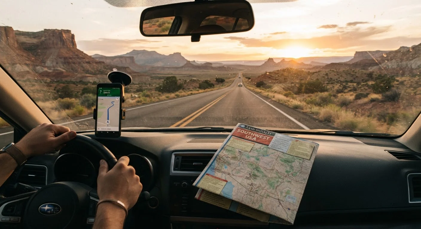
Photo: HorizonMetric.com | One Destination For Everyday Insights editorial
—— In This Article
Key Takeaways
- GPS apps are reliable in populated areas but routinely lose signal in rural and remote stretches.
- Paper maps never run out of battery and can orient you even without cell service.
- Offline downloaded maps bridge the gap between digital convenience and remote reliability.
- Experienced road trippers use a layered navigation approach — not a single tool.
- Knowing your route's dead zones before you leave is the most underrated trip-planning step.
The Navigation Myth: One Tool Is Never Enough
There's a comforting illusion that a smartphone with GPS solves navigation forever. Until you're deep in rural Nevada, your signal has been gone for an hour, and your app is confidently telling you to turn onto a road that doesn't exist. Then reality sets in fast.
Navigation on an American road trip — especially any route that touches the rural West, the mountain South, or indigenous and tribal lands — demands more than a single tool. The drivers who handle dead zones, construction detours, and unexpected closures calmly are the ones who prepared a layered system before they left the driveway. For a full picture of how navigation fits into overall trip prep, see our first cross-country drive guide.
GPS Apps: Powerful Until They're Not
Live GPS navigation is genuinely impressive. Real-time traffic rerouting, construction alerts, lane guidance on complicated interchanges, estimated fuel stops — these features make highway driving noticeably less stressful. For the majority of US interstate miles, a GPS app performs well.
The problems surface in predictable places:
- No cell signal, no directions. Many apps require a data connection to load map tiles, meaning rural areas — think stretches of Wyoming, the Ozarks, or the Arizona Strip — go blank.
- Outdated road data. Forest service roads, new bypass highways, and seasonal closures often lag weeks or months behind what your app knows.
- Battery and mount failure. A dead phone or a dropped windshield mount mid-route leaves you with nothing.
- Over-reliance kills spatial awareness. Drivers who never look at the big picture can make poor decisions when detours arise.
| GPS App (Live) | Offline Downloaded Maps | Paper Maps | |
|---|---|---|---|
| Works without cell signal | No | Yes | Yes |
| Real-time traffic updates | Yes | No | No |
| Turn-by-turn directions | Yes | Yes | No |
| Battery dependency | High | High | None |
| Big-picture route overview | Limited | Moderate | Excellent |
| Road data currency | Near real-time | Weeks to months old | Months to years old |
| Ease of use while driving | High (mounted) | High (mounted) | Low — requires stop |
The fix for the signal problem? Download offline maps for every state or region you plan to drive through — before you leave home. Most major navigation apps offer this. It won't give you live traffic, but it will give you a working map when your bars drop to zero.
Paper Maps: Old School, Genuinely Useful
A well-made road atlas doesn't need a signal, a charge, or a software update. That's not a small advantage when you're in a canyon or driving through a national forest where cell towers are scarce by design.
Paper maps do a few things better than any app:
- Big-picture orientation. You can see an entire state, spot alternate routes, and understand how roads connect — something a zoomed-in phone screen can't replicate.
- Never fails due to technology. Heat, dead batteries, and cracked screens don't affect paper.
- Useful for backup verification. If your GPS routes you somewhere suspicious, a map lets you sanity-check it instantly.
Grab Free Maps at State Welcome Centers
Most US state welcome centers and rest stops stock free official highway maps, and they're often better detailed than generic atlases for that state's back roads. Pick one up when you cross a state line — it's free, it's accurate for that region, and it'll reflect road names that GPS sometimes mangles. Keep it folded to your current area for quick reference.
The downside is real, though. Paper maps don't update in real time, can't estimate drive time, and are cumbersome to read while navigating an unfamiliar city interchange. They work best as a strategic overview tool rather than a turn-by-turn guide.
A quality state-by-state road atlas and individual state highway maps from rest stops are worth grabbing early in any long trip. Pair your atlas with the road trip packing checklist to make sure it makes the car.
Building a Navigation System That Actually Works
Experienced road trippers don't debate GPS versus paper maps — they carry both, plus offline downloads as a third layer. Here's how to make those layers work together:
- Plan your dead zones ahead of time. Look at your route on a coverage map from your carrier. Identify stretches with known signal gaps and study those sections on paper before you drive them.
- Download offline maps for every region. Do this on Wi-Fi before departure. Cover more geography than you think you'll need — detours happen.
- Keep your atlas or state map accessible, not buried in the trunk. It should be in the passenger seat or door pocket, ready to open in two seconds.
- Brief your co-pilot. If you're traveling with someone, assign navigation roles. Solo drivers should pull over to consult maps rather than attempting to read while moving. The solo vs. group road trip comparison covers how navigation dynamics shift depending on your crew.
- Build time buffers for navigation confusion. Getting rerouted adds real minutes to your day. Our piece on why road trips feel longer than expected explains how to factor this into your itinerary honestly.
Layered navigation is ultimately a habit, not a one-time purchase. The habits of experienced road trippers include exactly this kind of systematic preparation — and it pays off every time the signal disappears.

Travel Editorial Team
Travel Editorial Team is the collective byline for our editorial team and contributor network. Articles published under this byline or an editorial pen name are researched, written, and reviewed according to our editorial standards for clarity, consistency, and independence before publication.
View author profile